
Disaster Relief Simulation
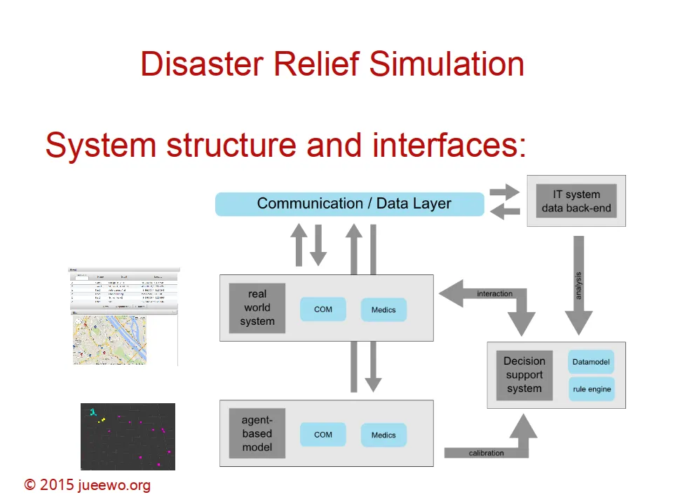
This project looked at resource allocation, information asymmetry, and collaborative planning at the site of emergencies. The goal was optimal decision strategies — derived and evaluated in simulation — that could calibrate a real information system tracking resources in the field.
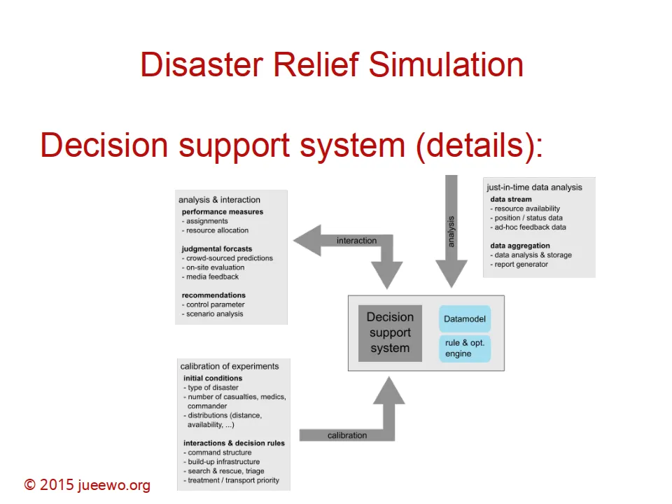
The simulation filters an algorithmic information stream for officers and decision makers so just-in-time choices have a chance of being the right ones. A real-world mobile system was developed and calibrated from this study.
Implementation: FARMS
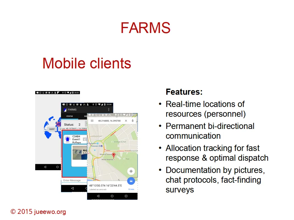
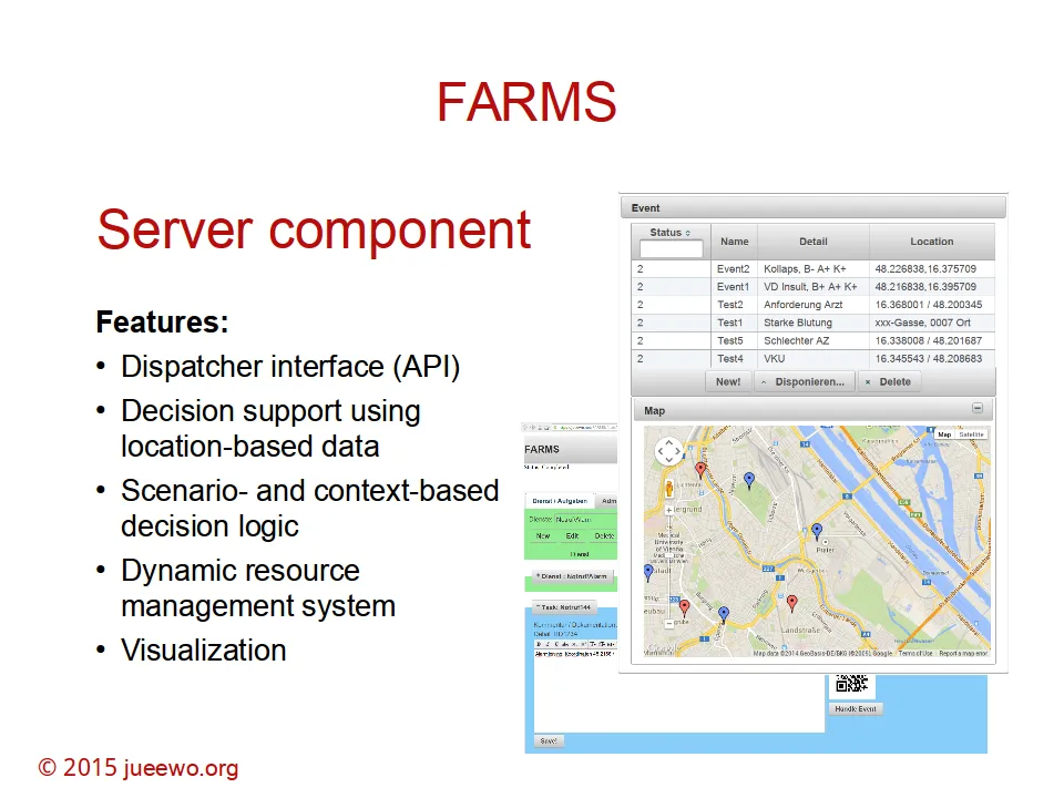
Concepts from the research were implemented and tested with an NGO in Austria. The prototype is FARMS — First Action Resource Management System — managing and guiding resources in disaster-relief scenarios.
System architecture
Publications
Articles / abstracts
- Woeckl: Location-based resource management and collaborative planning in the field of disaster relief operations. POMS Singapore (2014).
- Woeckl: Just-in-time classification of location-based data to optimize assignment and routing decisions in supply chains. POMS Singapore (2014).
Location-based resource management and collaborative planning in disaster relief
In a disaster-relief operation it is critical to gather and distribute knowledge about a status that changes continuously. Here I introduced an advanced planning and decision-support system to capture and share information in a decentralized, dynamic structure. Dynamic algorithms aggregate information and redistribute optimization results and strategic decisions. The system forms an ad-hoc network — mobile phones as location-based data-collection clients, mobile servers as the data back-end.
Just-in-time classification of location-based data for assignment and routing
From location-based transaction data (pictures, routes, descriptions, status reports) the system derives assignment of resources to events and routing. Classification algorithms calibrate decision rules for just-in-time assignment and routing. Unstructured high-dimensional input is enriched by expert knowledge into a judgmental forecast that controls effects on supply-chain performance measures.
Presentation
-
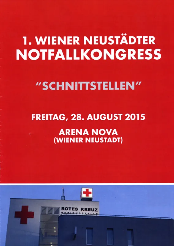
- Wiener Neustädter Notfallkongress “Schnittstellen”, 28.8.2015, Arena Nova, Wiener Neustadt, Austria.
— Research note · field + mobile prototype.